Details for Listing #60328999
Thayer MO 65791
Listing Details
Property Description
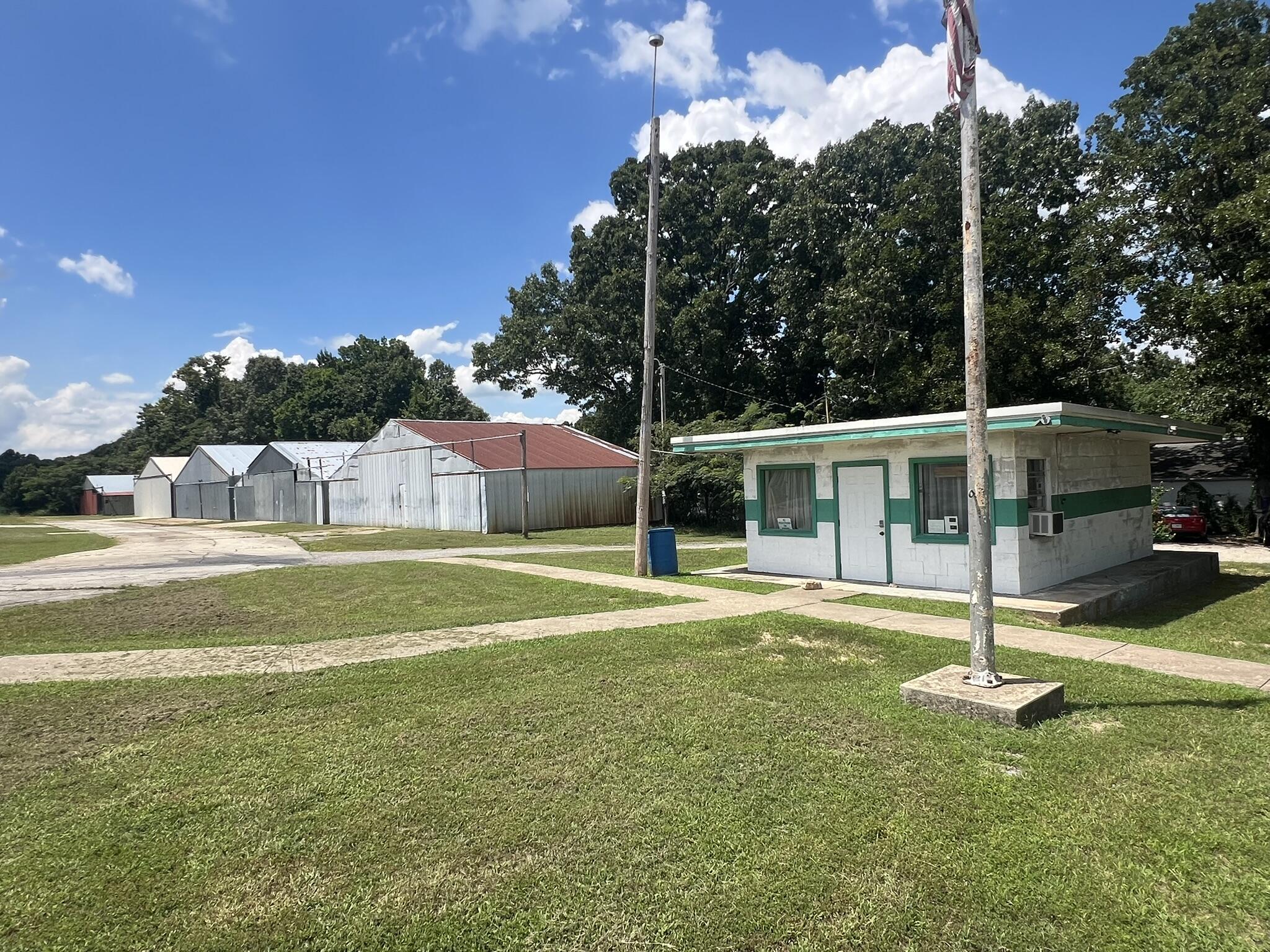
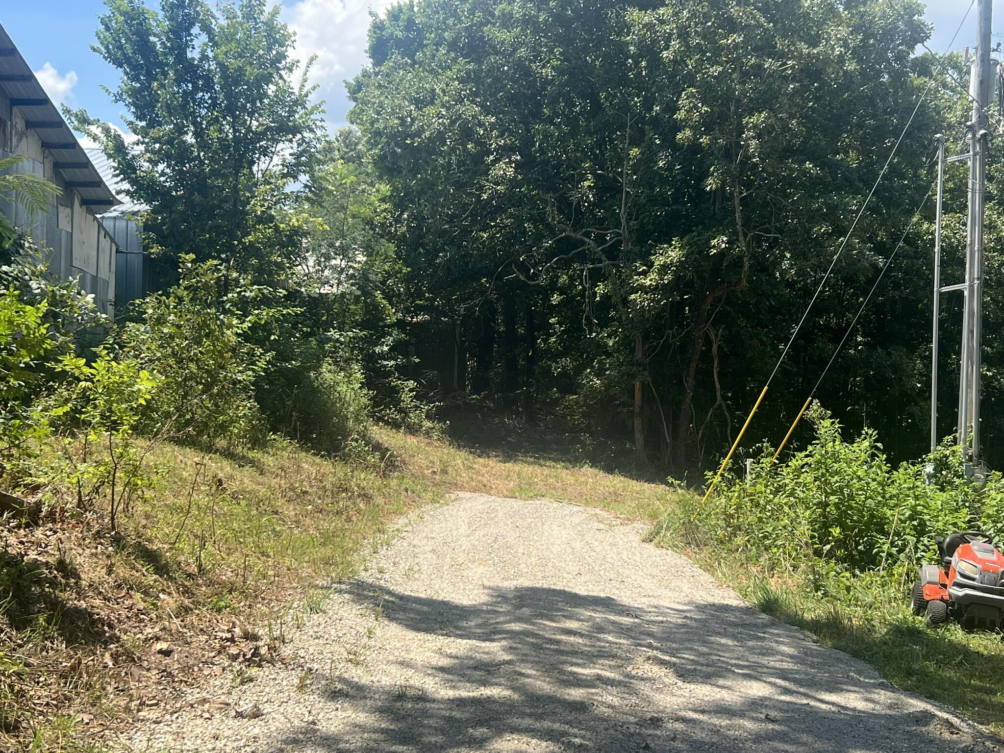
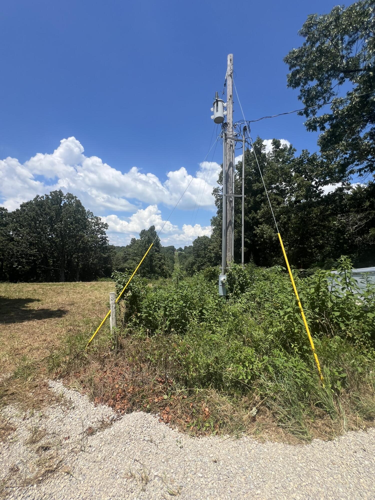
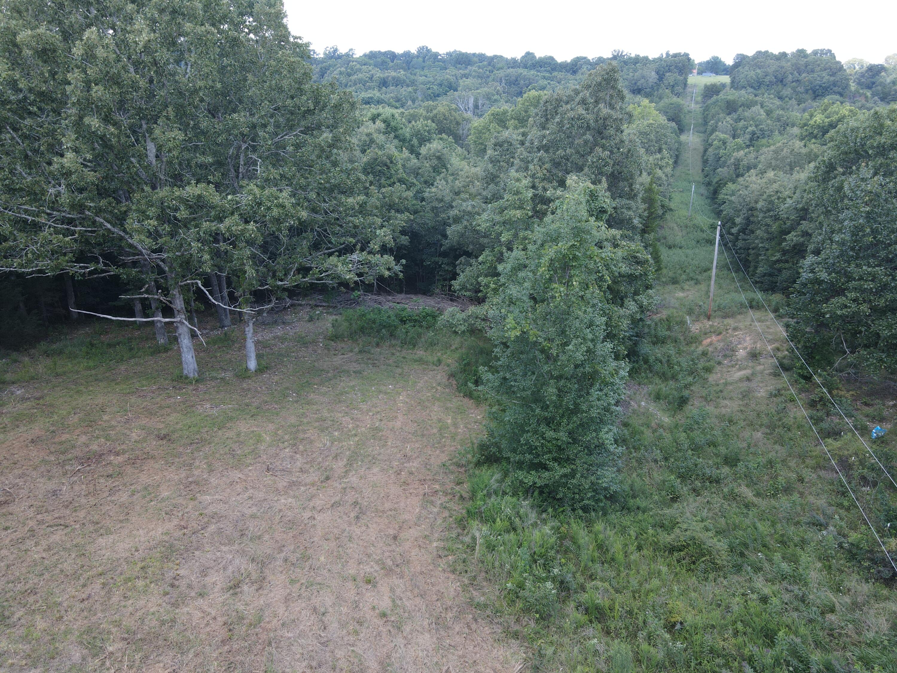
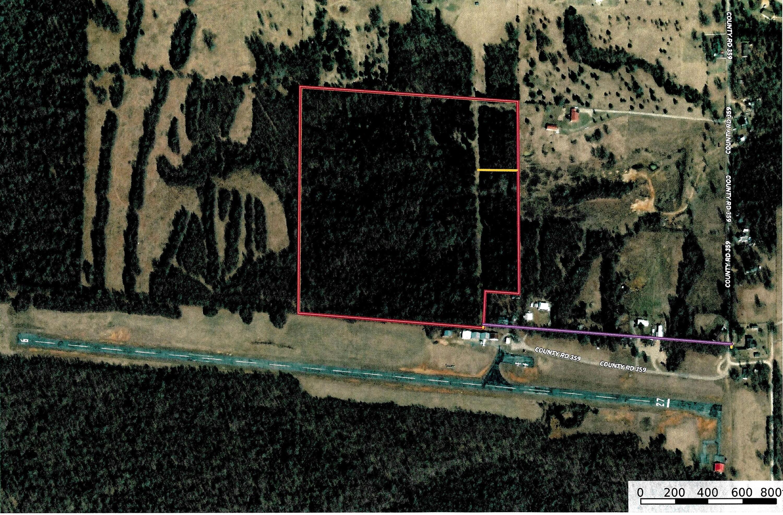
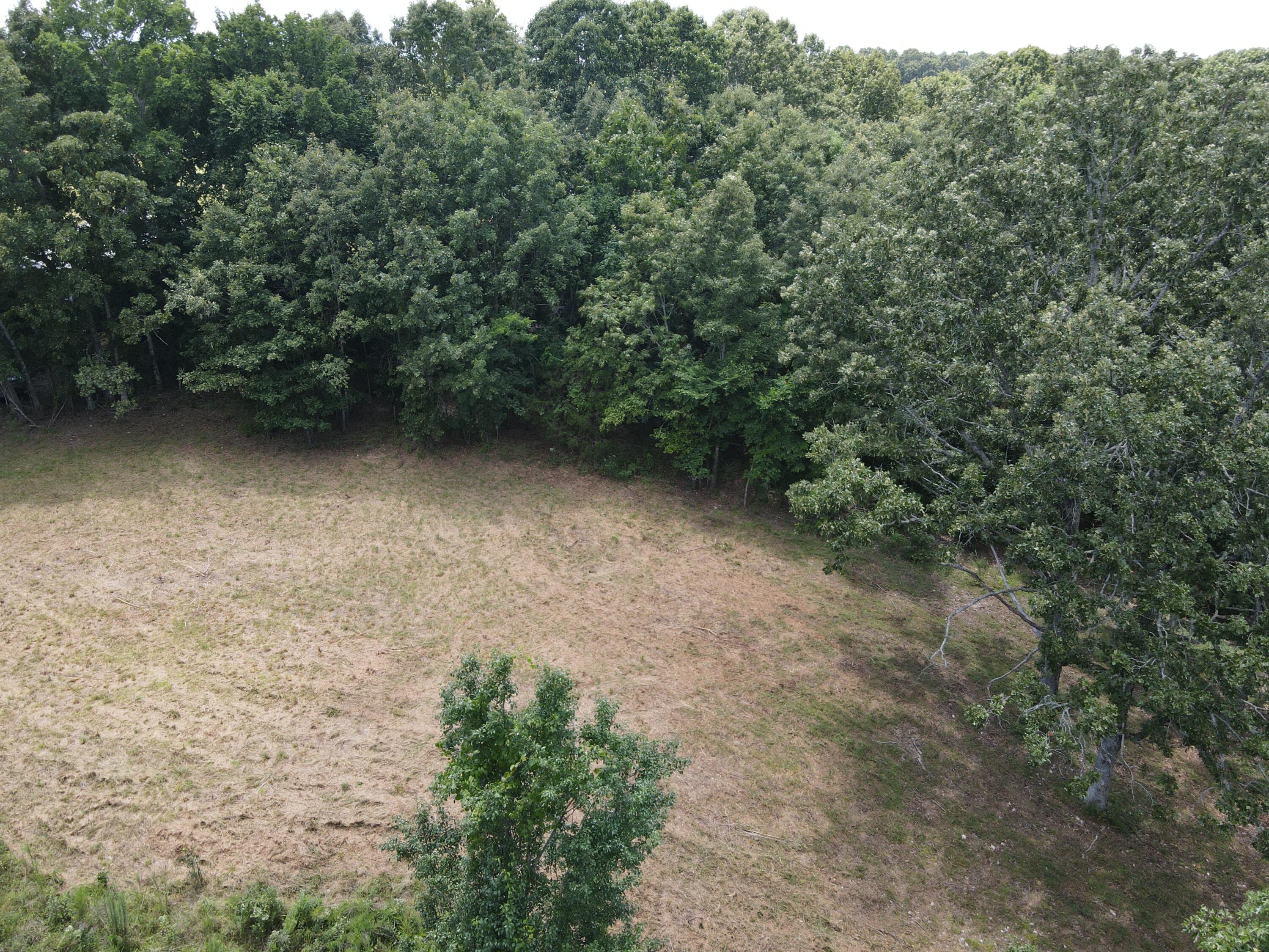
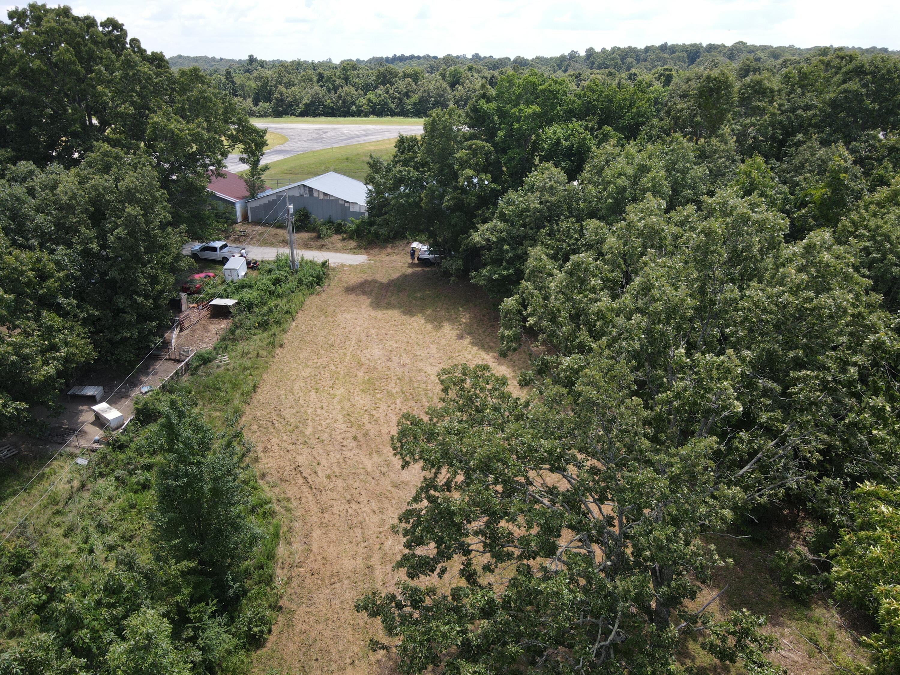
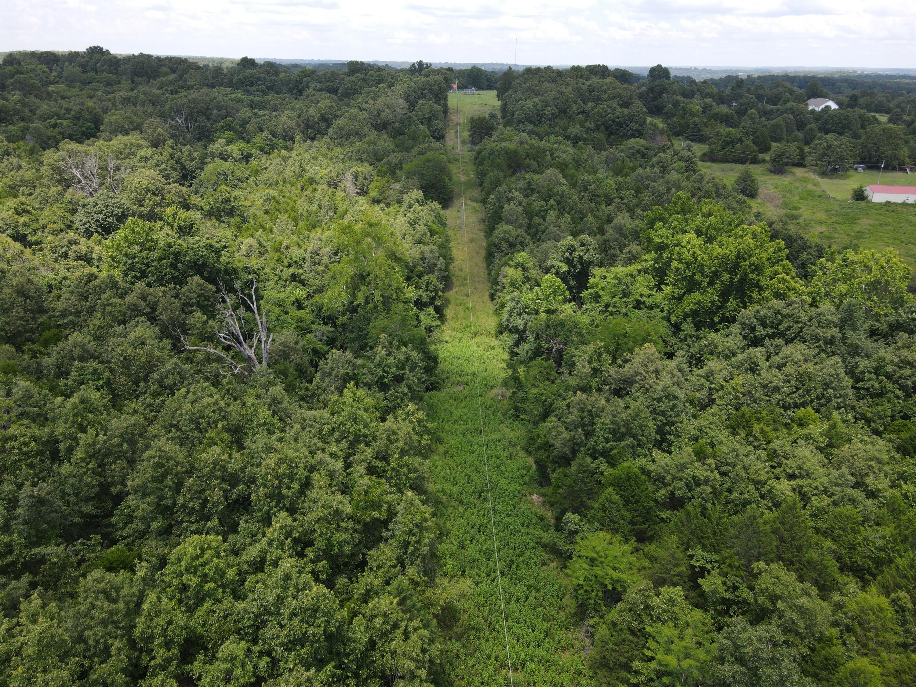
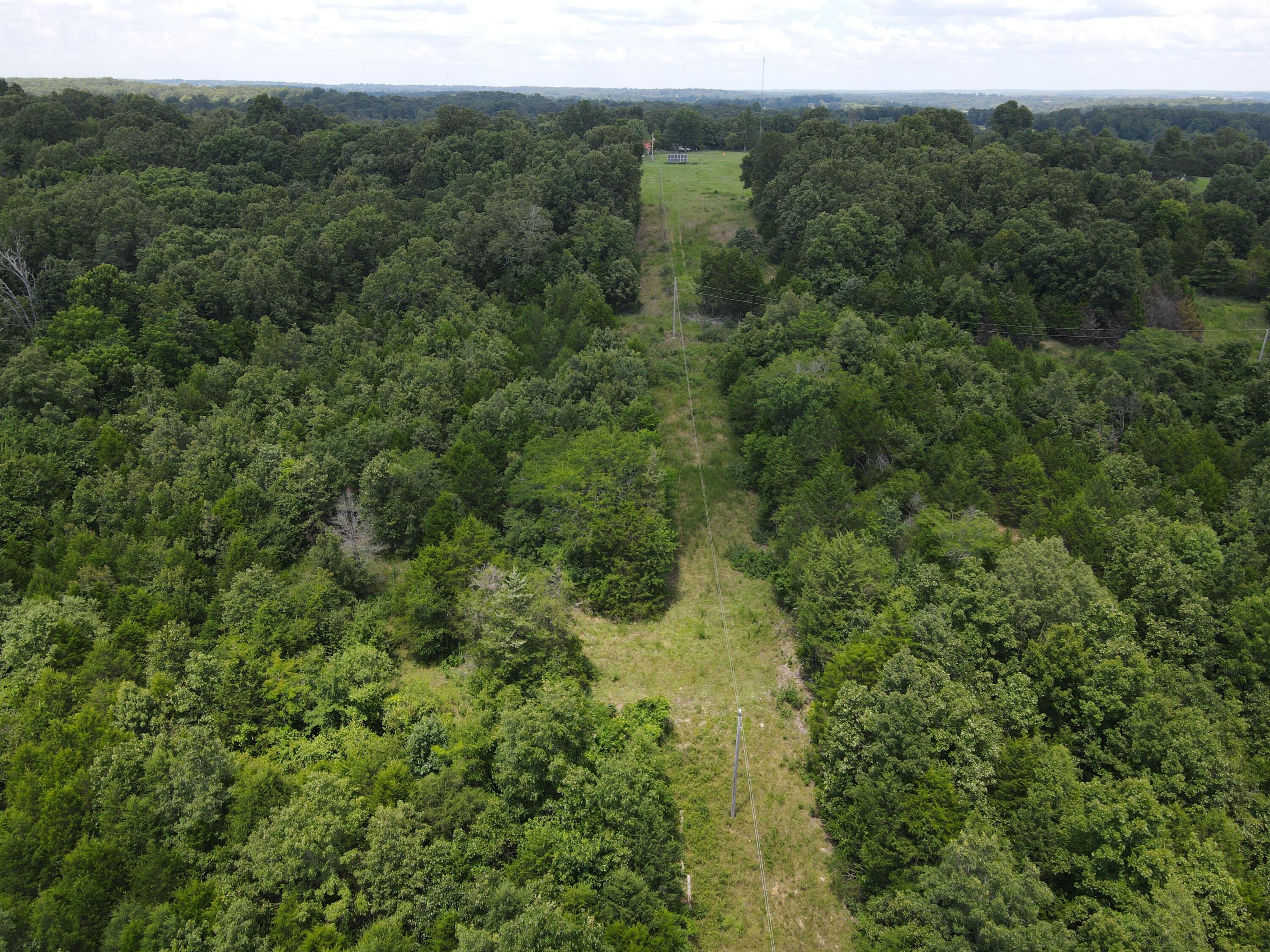
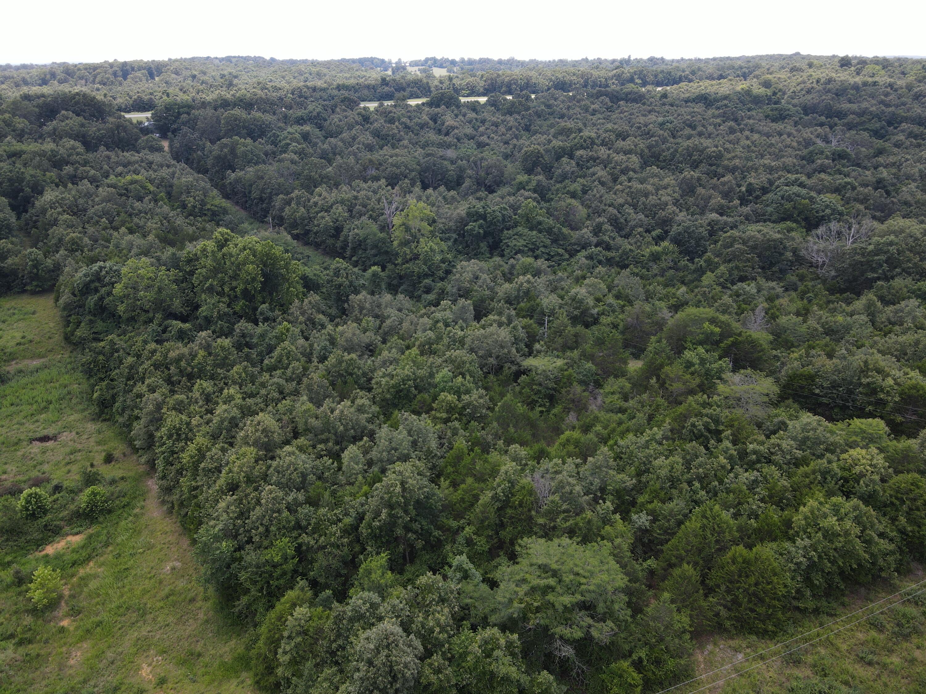
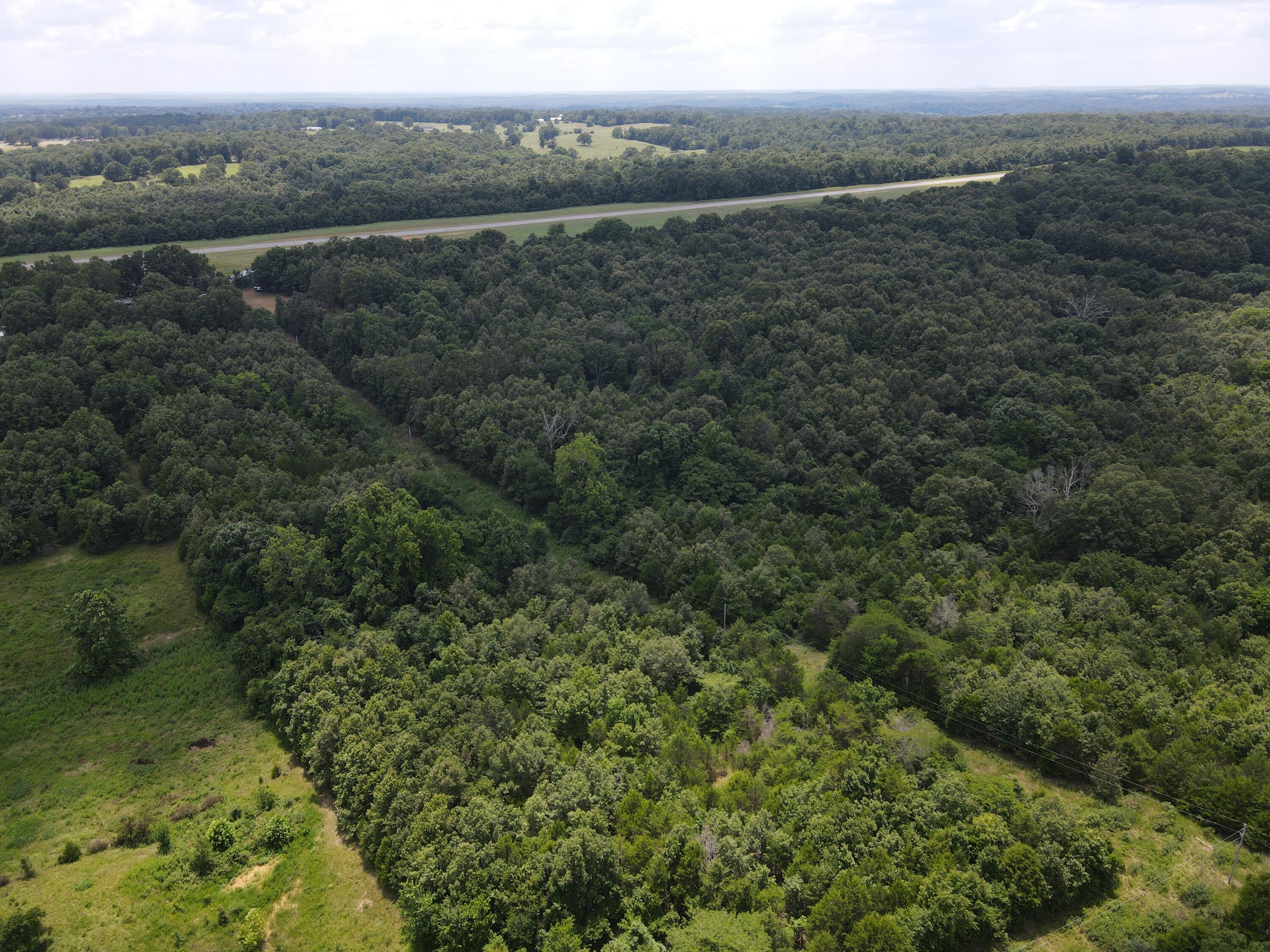
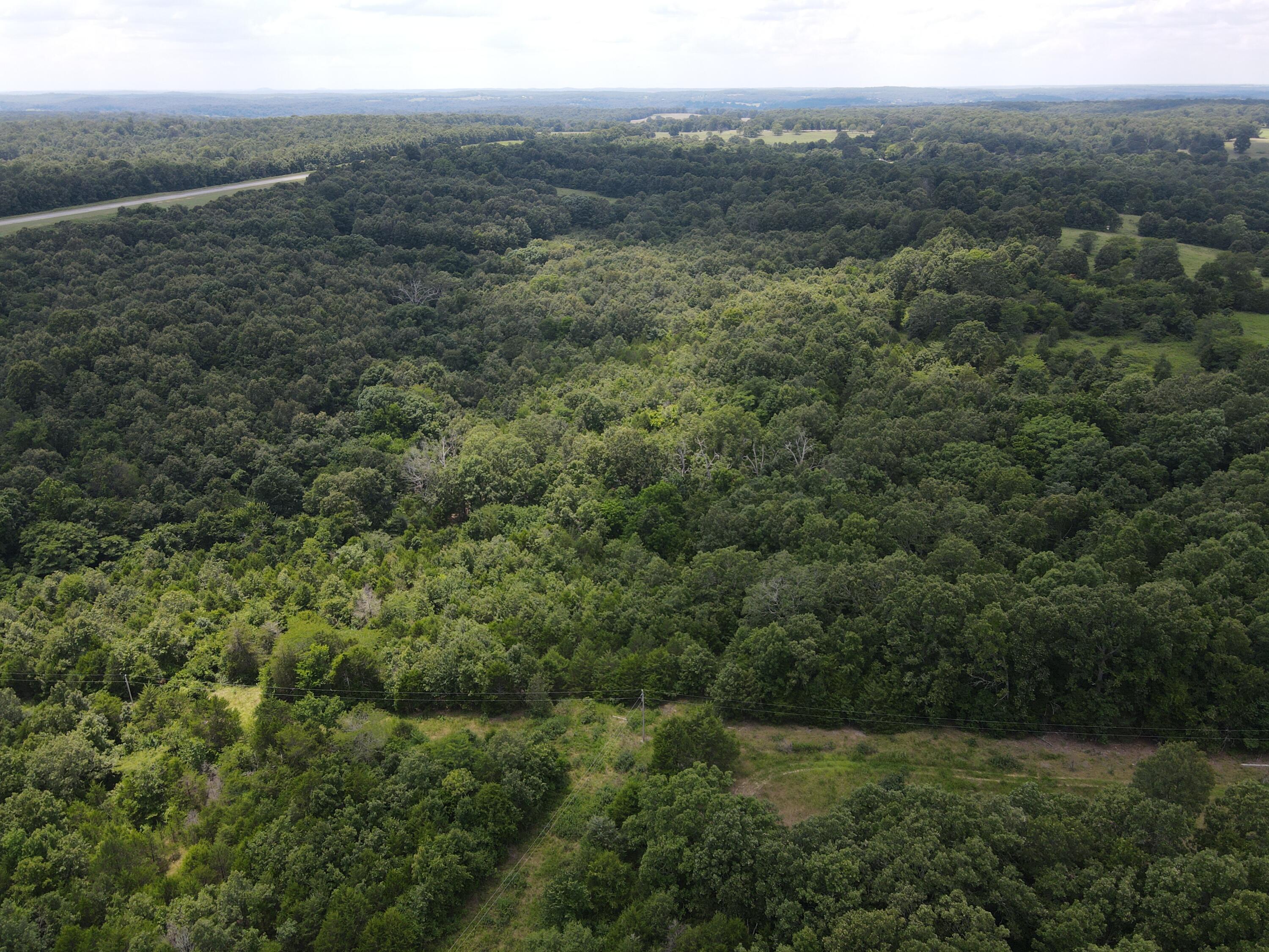
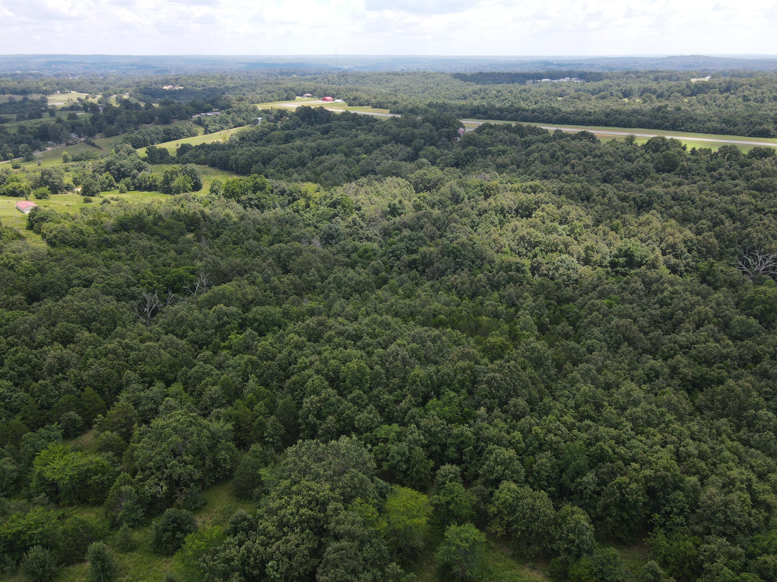
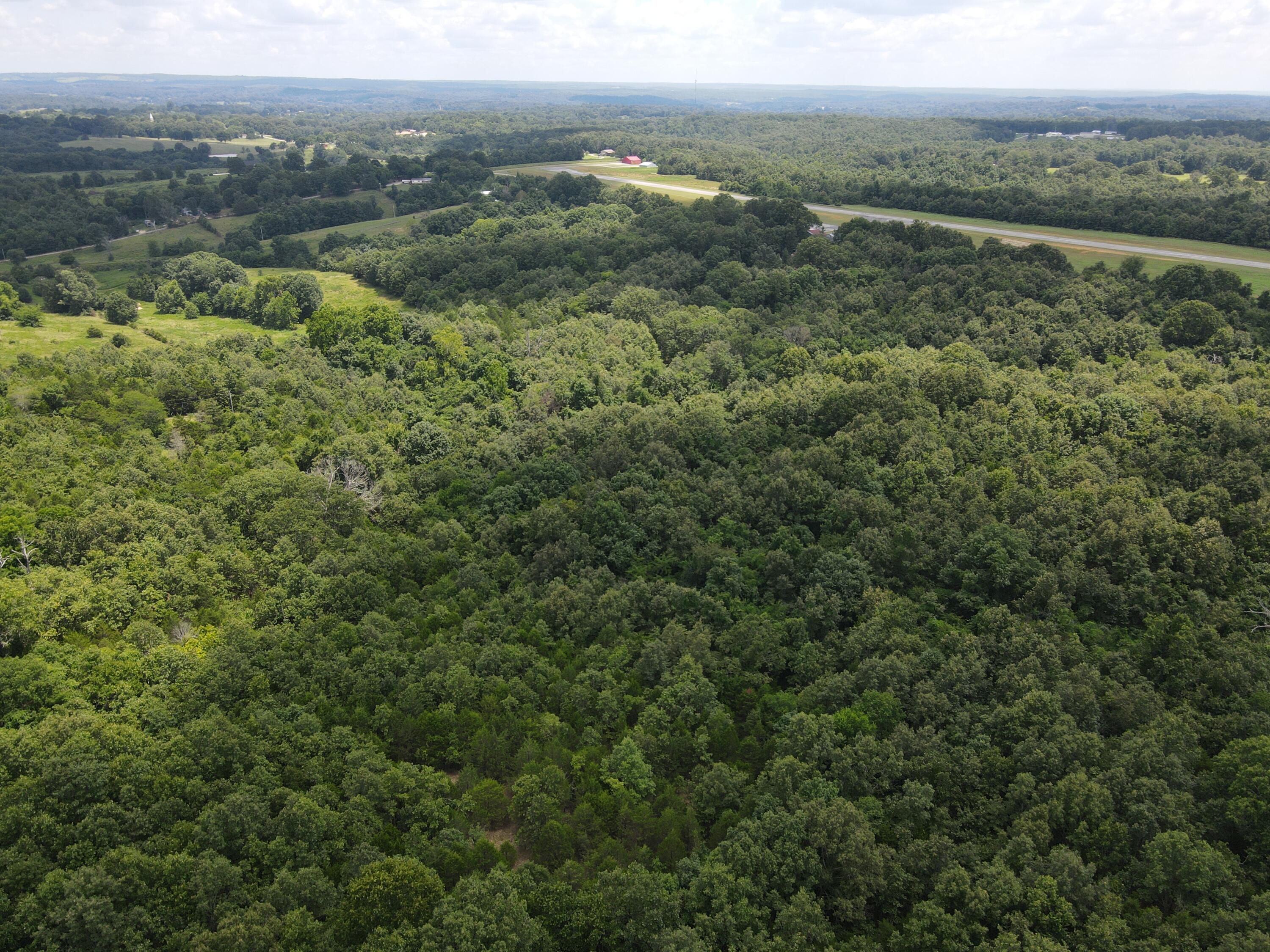
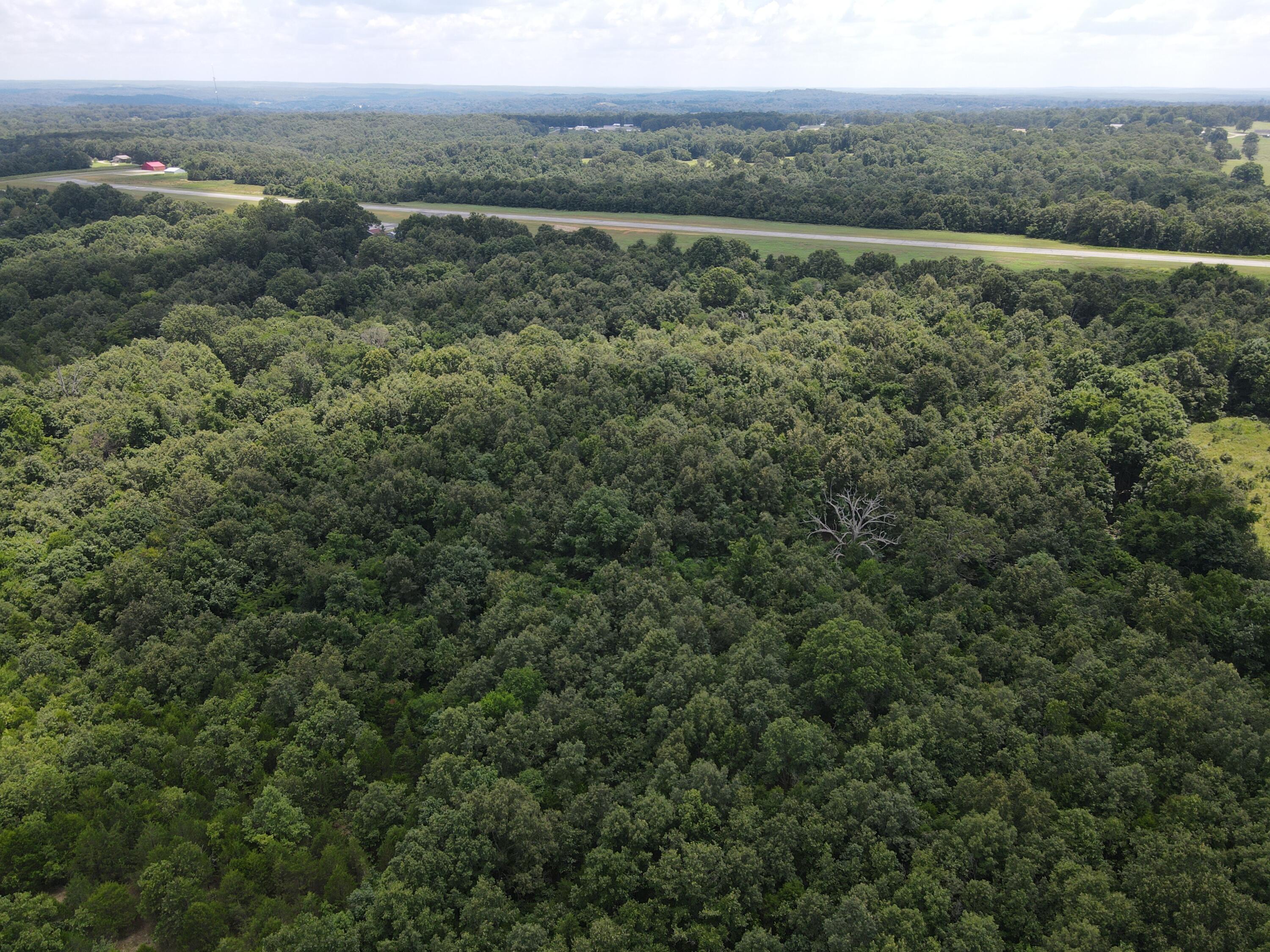
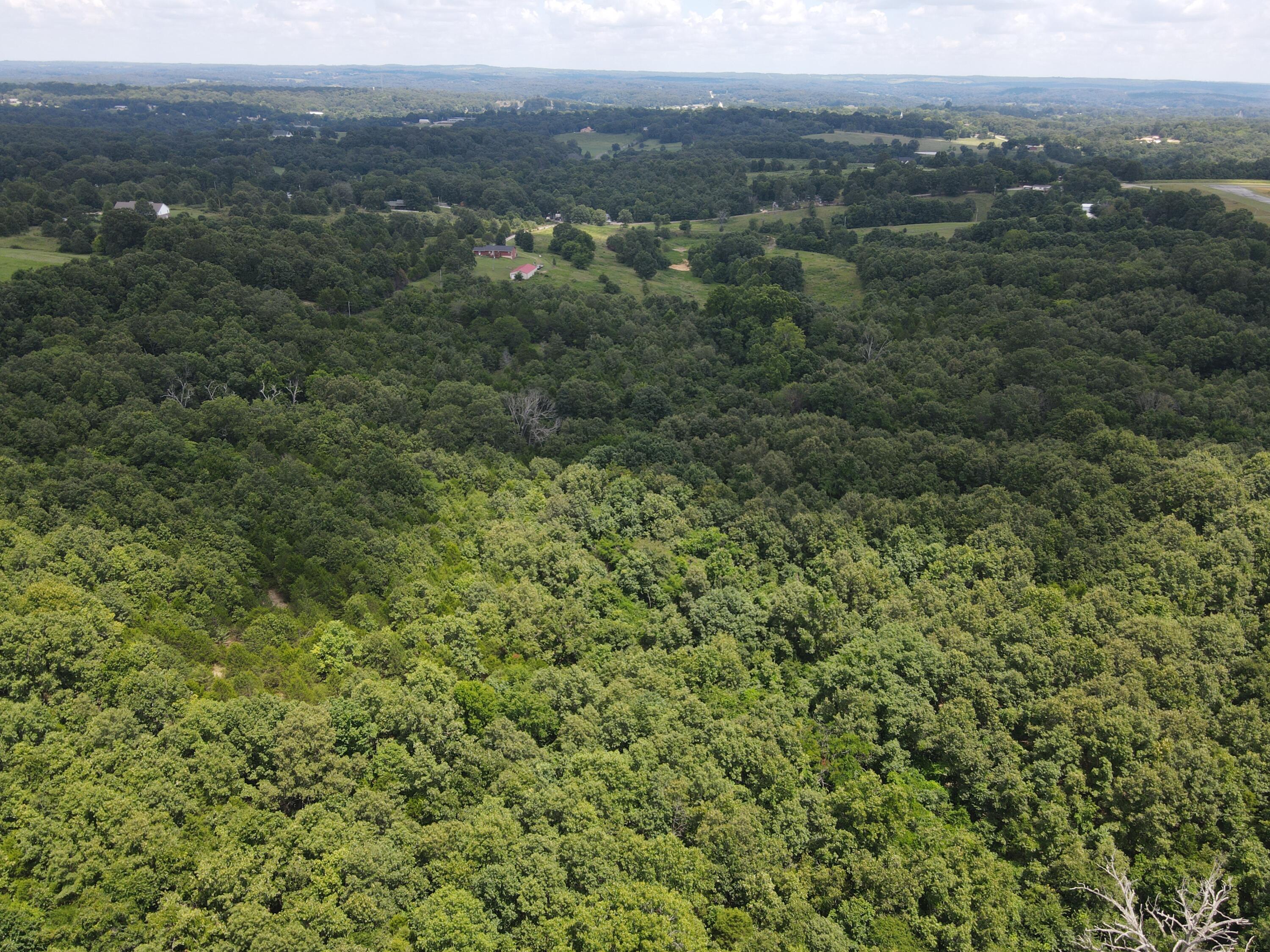
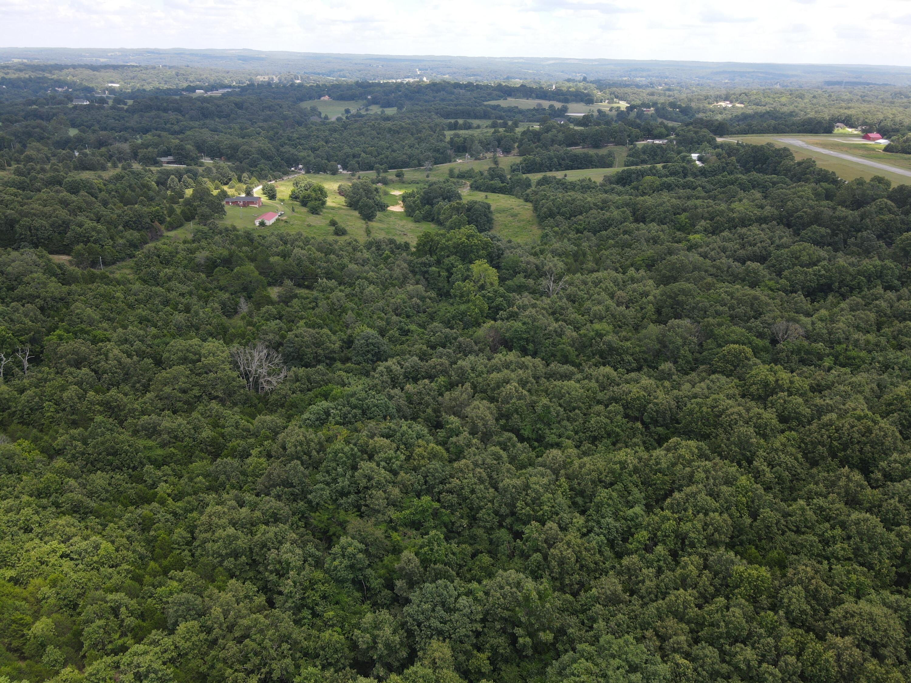
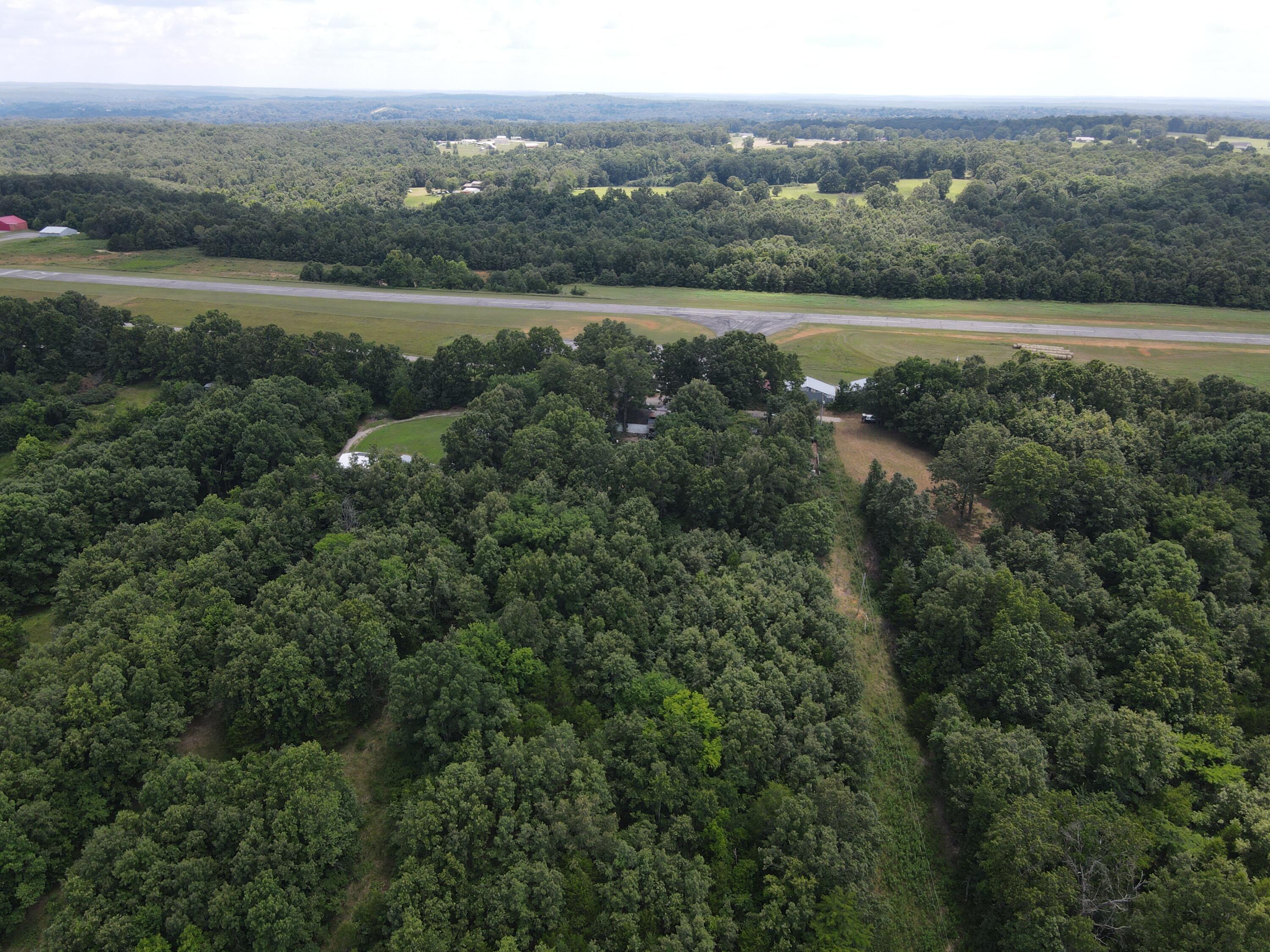
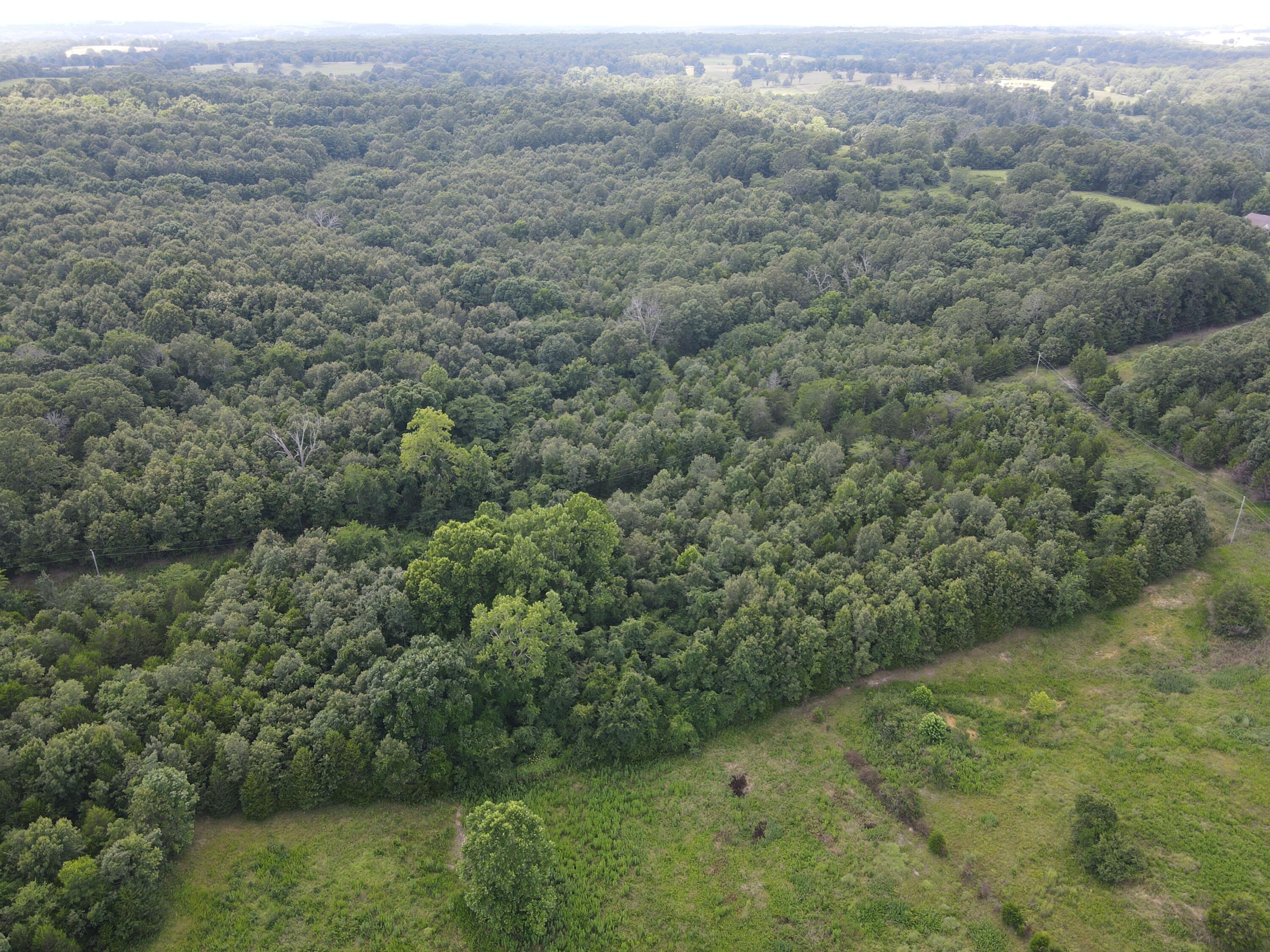
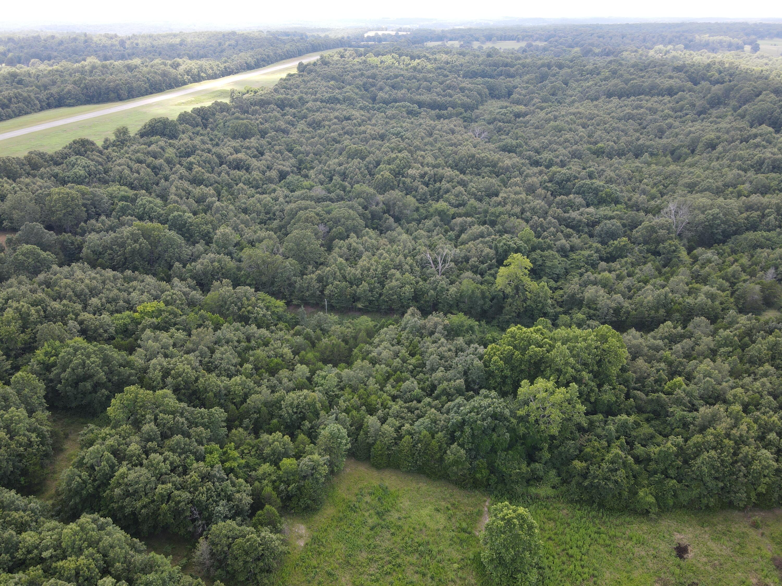
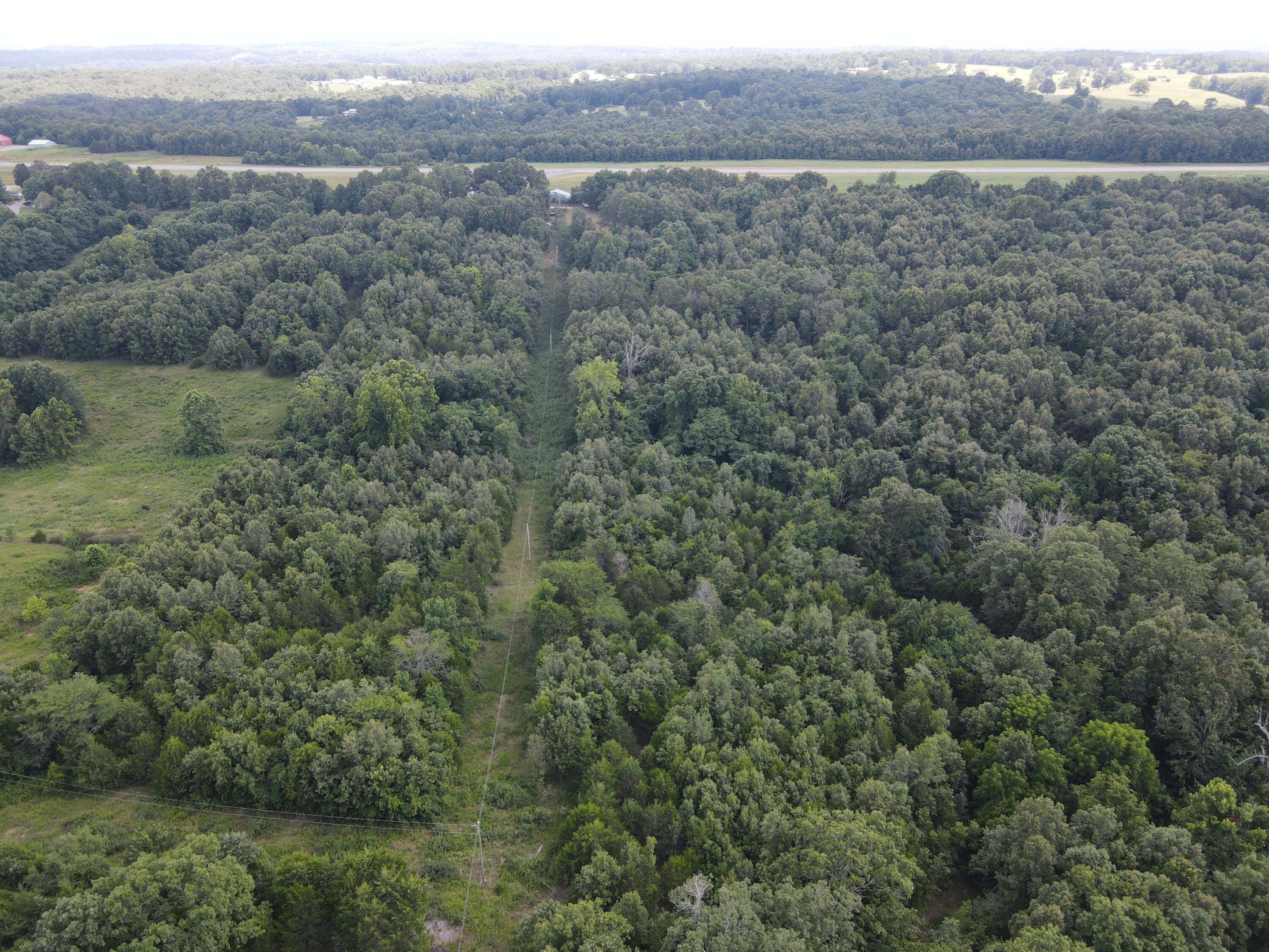
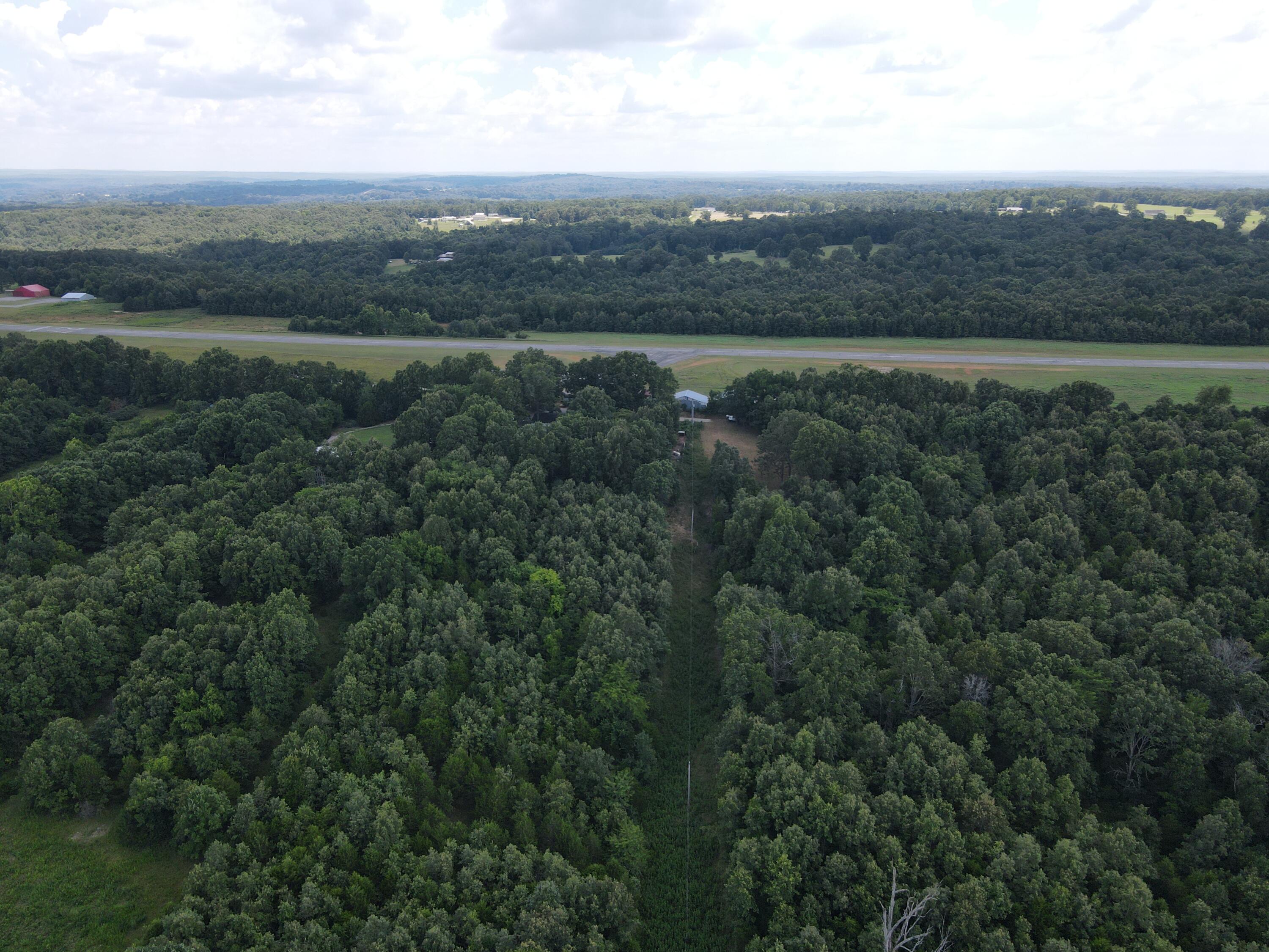
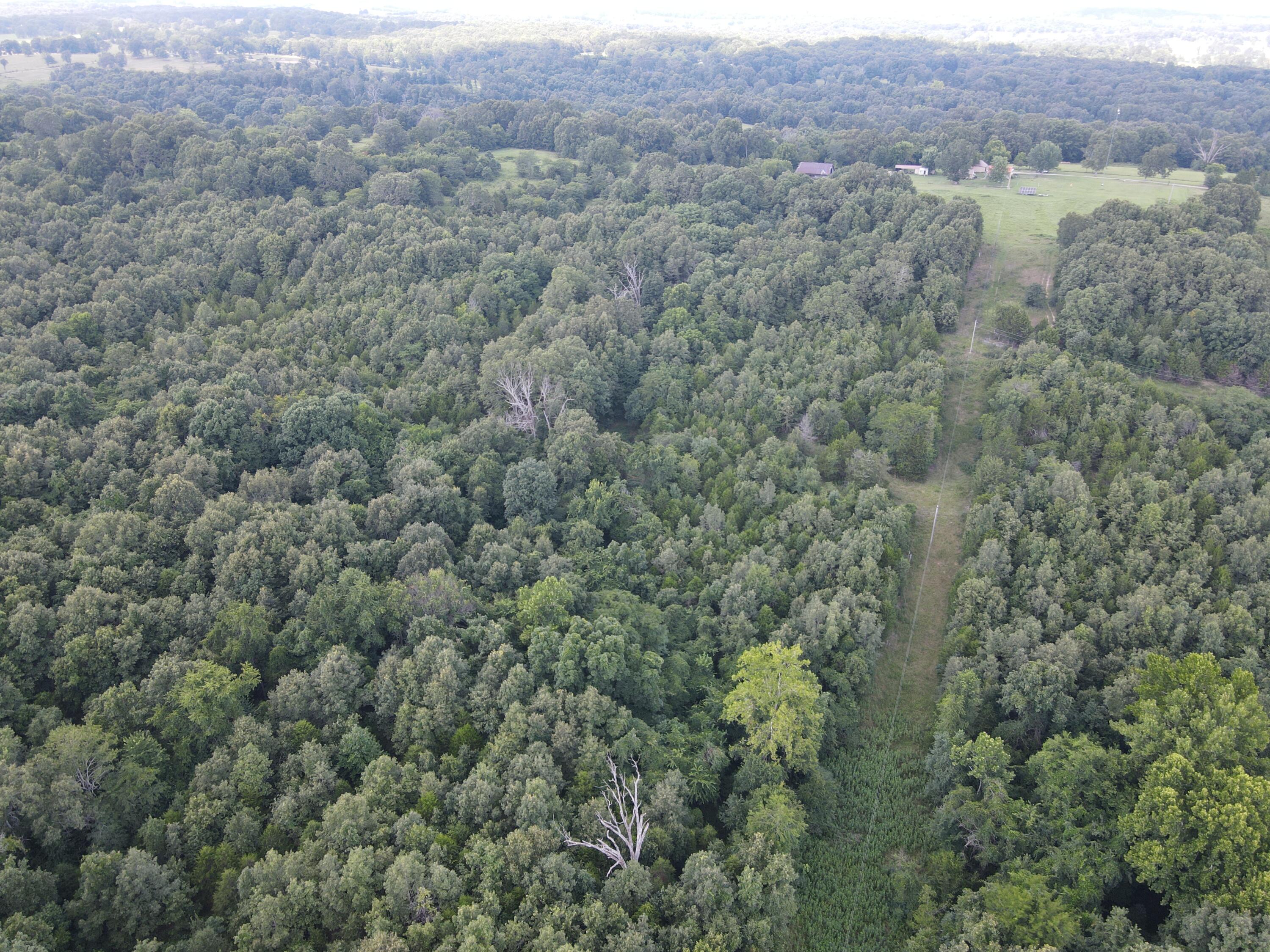
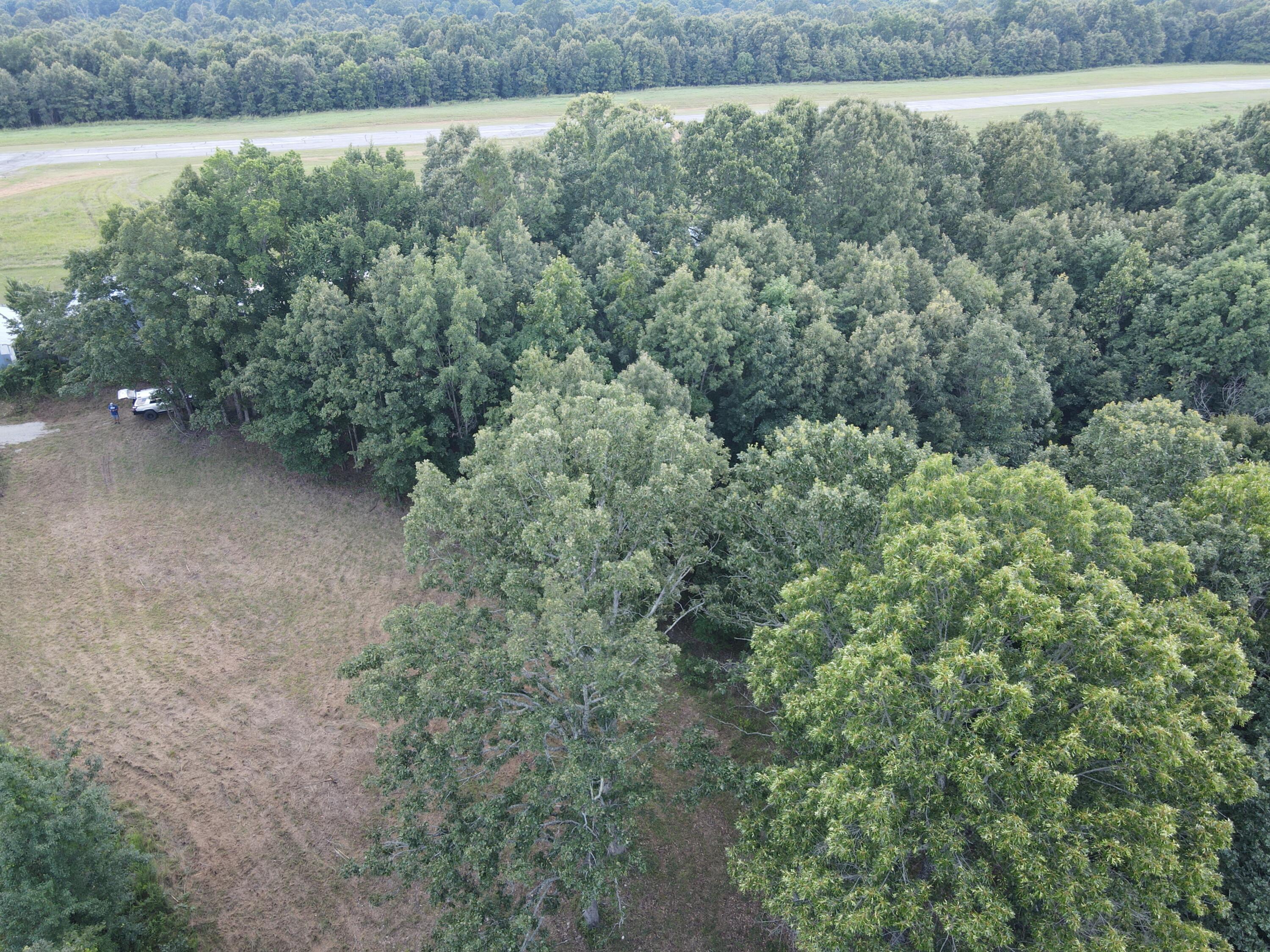
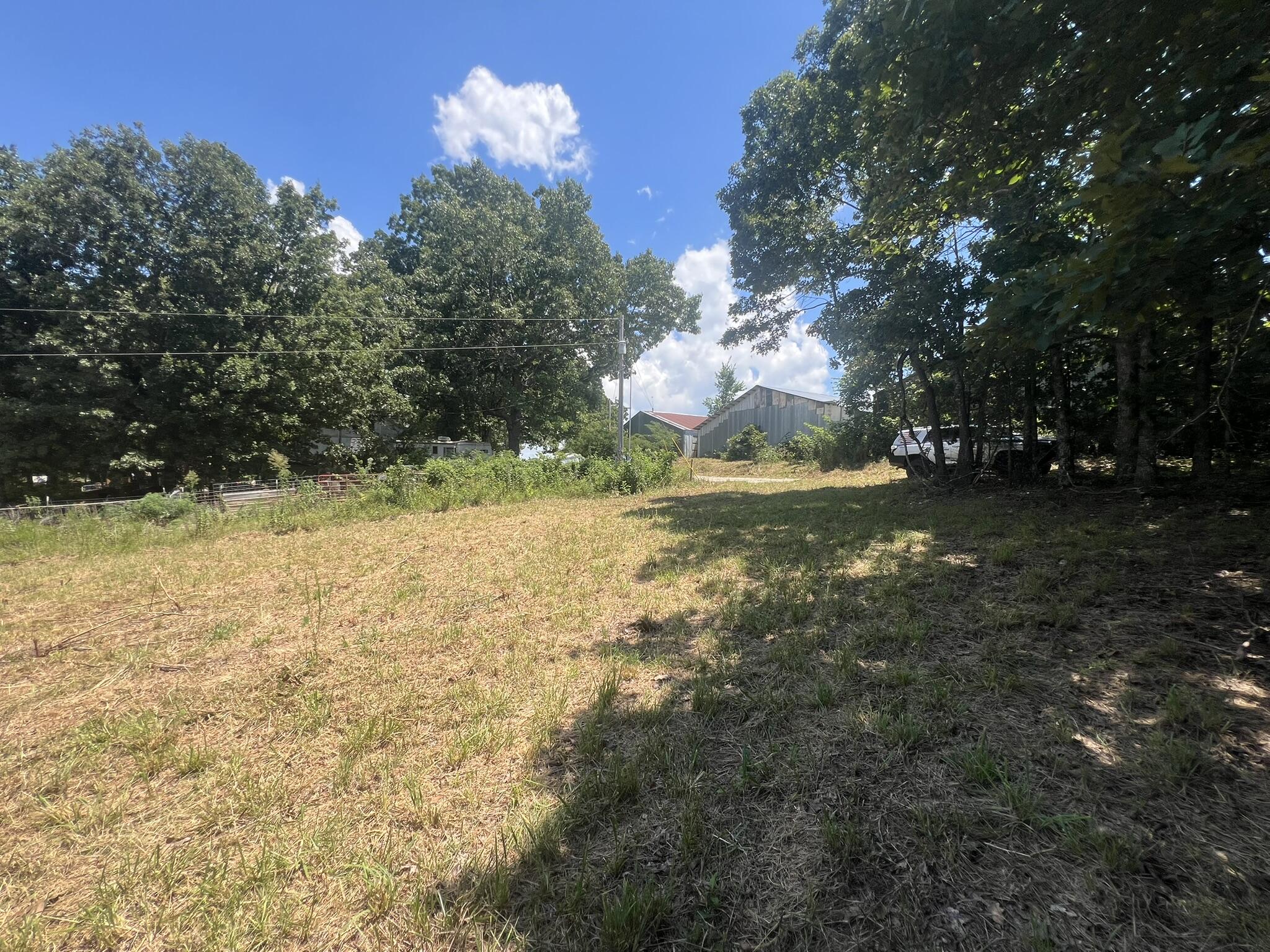
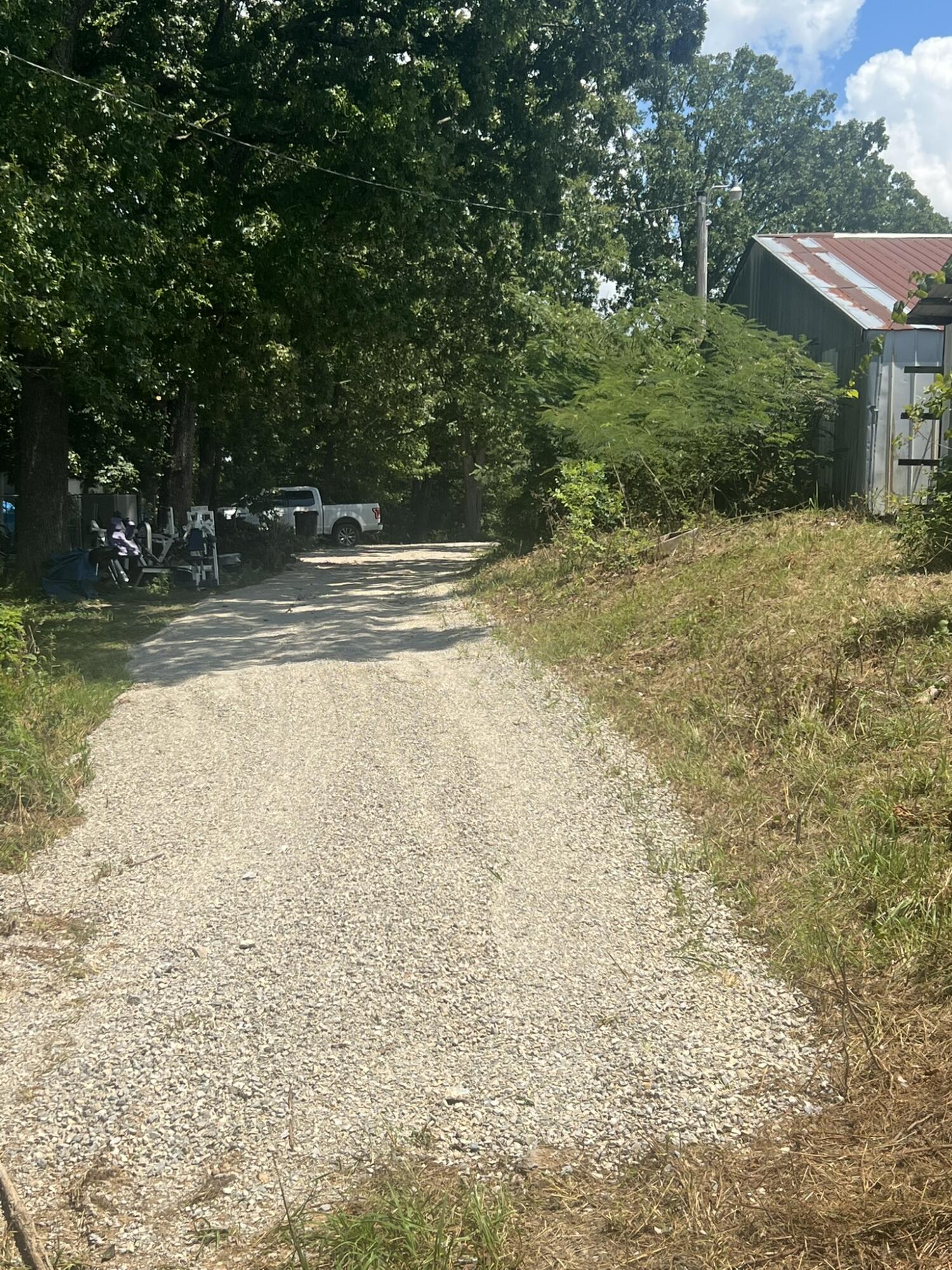
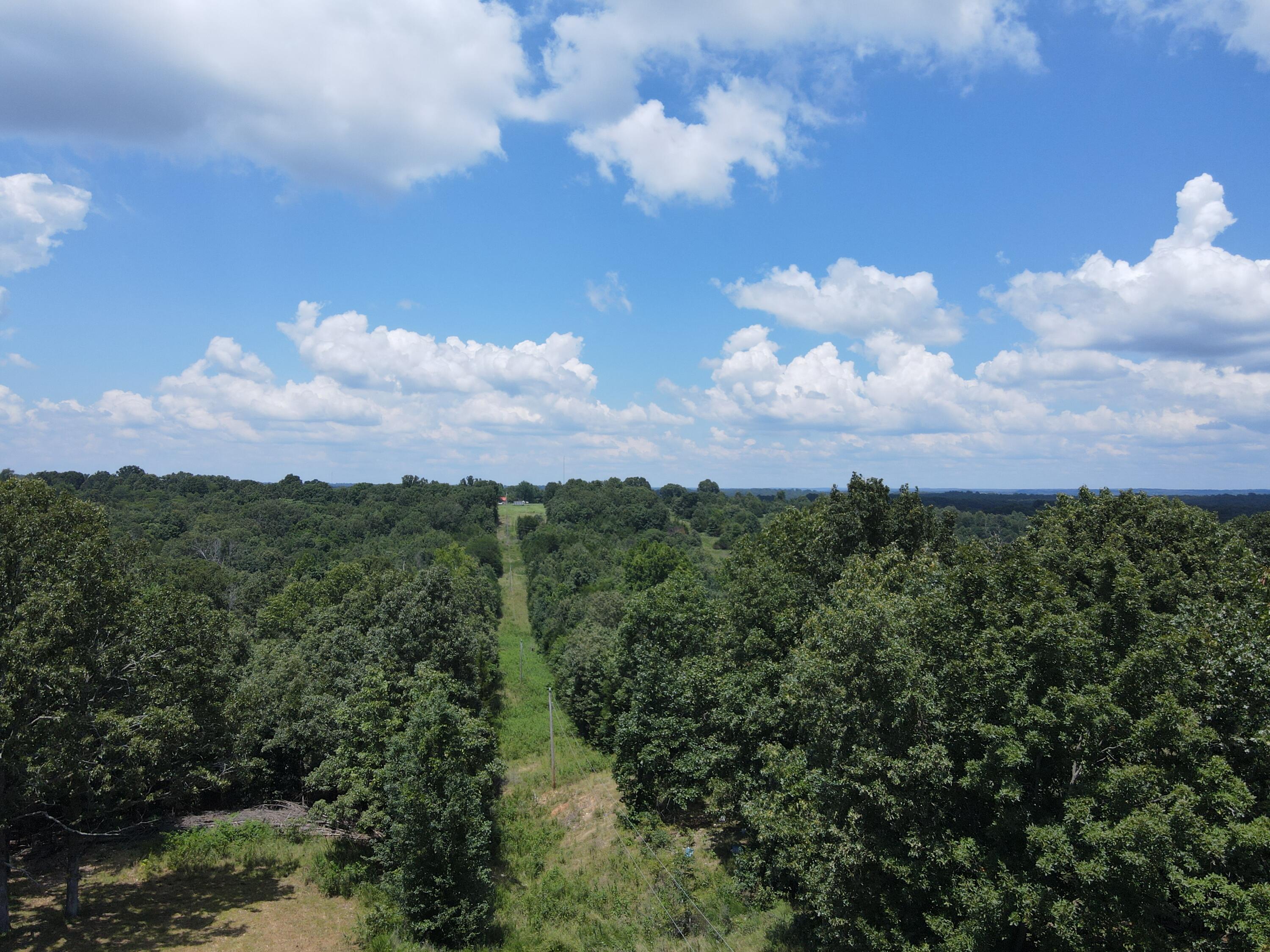
39 Acres m/l joining the Thayer Memorial Airport. Taxes only $16.57 per year!https://www.airnav.com/airport/42M This property has electric service lines running parallel to the Eastern Boundary which is approximately 200 feet inside the property line and runs the full Quarter mile length. It is the Southern boundary that borders the City owned Airport, Thayer Memorial Airport is open to the public. Runway Dimensions: 4200 ft long x 50 ft wide Surface is Asphalt in good condition.The land itself is almost entirely wooded and rolls gently down from the airport border then back up to the same elevation at the Northern boundary. The slopes are an easy walk or there is a small open area previously open by the current owner. Multiple nice building spots throughout. There is a small open area near the electric service that is a landing spot when you approach the property for the easement. There are 2 easements to this property both enter the property at the same SE corner of the subject property. The currently used access is from the existing county road that runs up to the office and beginning of the Hanger run. The City of Thayer has granted an easement to this property which is pictured and has new chat on it providing access. There is perimeter fence which is not good enough to hold livestock anymore but does mark the boundaries.
Listed by: Solomon Cornelius - Monark Realty (Solomon Cornelius, Broker)

Solomon Cornelius
Broker
417-252-0499